mozgi
GPT Image 2.0
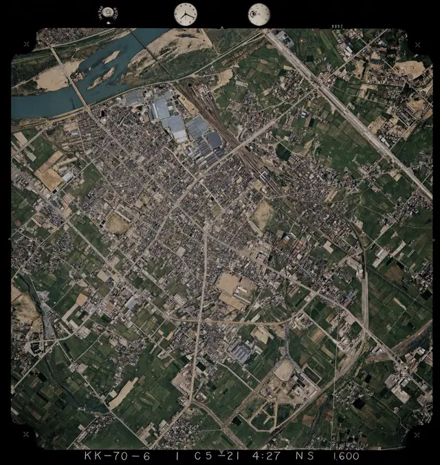
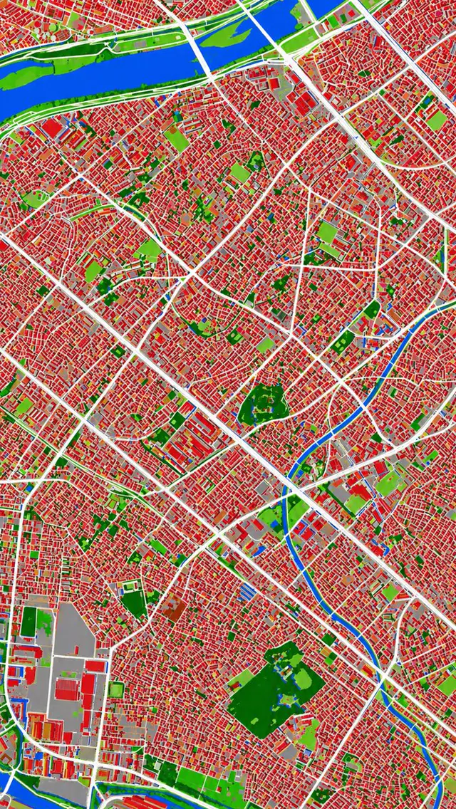
Urban land cover map showing red buildings, white roads, blue waterways, and green vegetated areas
Prompt
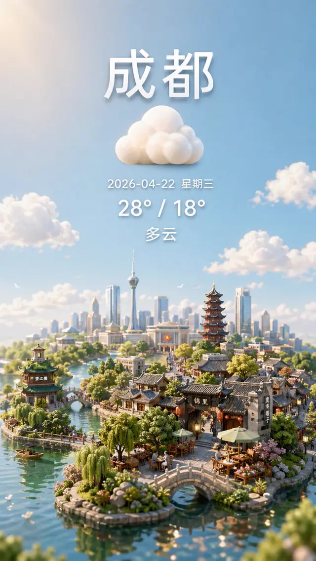
Using REFERENCE_0 as the source geography and urban layout, transform the monochrome historical aerial photo into a clean land-cover classification map using the false-color visual language implied by REFERENCE_1. Keep the same top-down viewpoint and street/block structure, but replace photographic texture with flat segmented regions and crisp boundaries. Classify the scene into exactly 6 visual categories: 1) buildings as red, 2) roads and major paved corridors as white, 3) water bodies and canals as blue, 4) dense vegetation/parks as dark green, 5) open grass or sparse green areas as light green, and 6) industrial or large paved/open facility areas as gray. Produce a dense urban thematic map with strong contrast, minimal shading, and no labels, legends, borders, or photographic film markings.
The rights to this prompt belong to its author @lTlanual. You are responsible for any commercial use — promoting AI tools, aggregators or Telegram bots: mozgi.io accepts no liability. Details →