mozgi
GPT Image 2.0
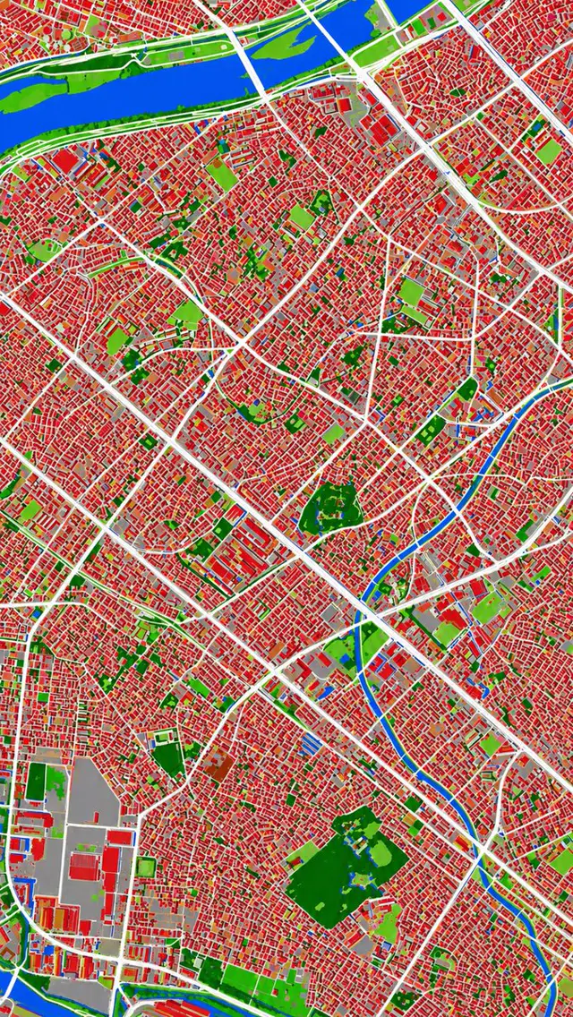
城市土地覆蓋圖,顯示紅色建築、白色道路、藍色水道和綠色植被區
提示詞
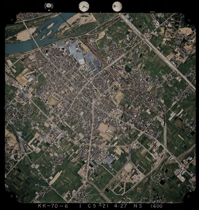
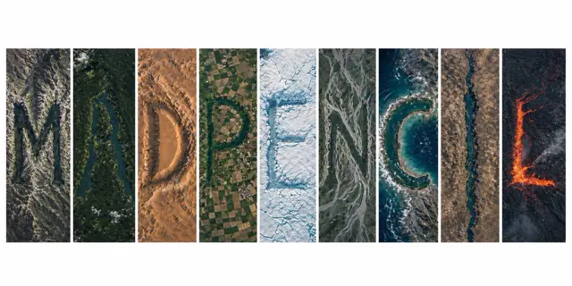
Using REFERENCE_0 as the source geography and urban layout, transform the monochrome historical aerial photo into a clean land-cover classification map using the false-color visual language implied by REFERENCE_1. Keep the same top-down viewpoint and street/block structure, but replace photographic texture with flat segmented regions and crisp boundaries. Classify the scene into exactly 6 visual categories: 1) buildings as red, 2) roads and major paved corridors as white, 3) water bodies and canals as blue, 4) dense vegetation/parks as dark green, 5) open grass or sparse green areas as light green, and 6) industrial or large paved/open facility areas as gray. Produce a dense urban thematic map with strong contrast, minimal shading, and no labels, legends, borders, or photographic film markings.
此提示詞的權利屬於作者 @lTlanual。任何商業使用(推廣 AI 工具、聚合平台、Telegram 機器人)由你自行負責,mozgi.io 不承擔任何責任。 詳情 →