 mozgi
Researchers assessed the accuracy of the COTQ regional land use model
A group of scientists presented a systematic evaluation of the regional product COTQ, designed for land use monitoring in Quebec with a resolution of 10 meters. The study is focused on comparing the characteristics of this model with global analogs: ESA WorldCover, ESRI LandCover and Google DynamicWorld.
For the analysis, the authors used eight tiles of data from the Sentinel-2 satellite, covering various bioclimatic zones - from temperate forests to tundra. The work applied metrics of spectral separability, as well as structural indicators, including Adjusted Rand Index and Intersection over Union. The methodology included harmonizing the legends of all four products to ensure the comparability of the results.
The results showed that in terms of its structural and spectral characteristics, COTQ is closest to ESA WorldCover. However, systematic discrepancies were identified in the classification of urban areas, wetlands, and rocky surfaces. These differences are due to the specific thematic priorities of the regional model, adapted to the needs of local environmental monitoring.
This work provides an objective characterization of the accuracy of COTQ and determines its place among existing global tools for analyzing the earth's surface. The study highlights the importance of local calibration of models when working with complex environmental gradients, where universal global solutions may demonstrate a decrease in accuracy.
Related news
 Anthropic summarizes seven months of Project Glasswing
November 10, 2026
 Researchers have introduced a method for recursive self-improvement of The Trinity agents
November 10, 2026
 Google DeepMind has introduced AlphaProof Code for software verification
November 10, 2026
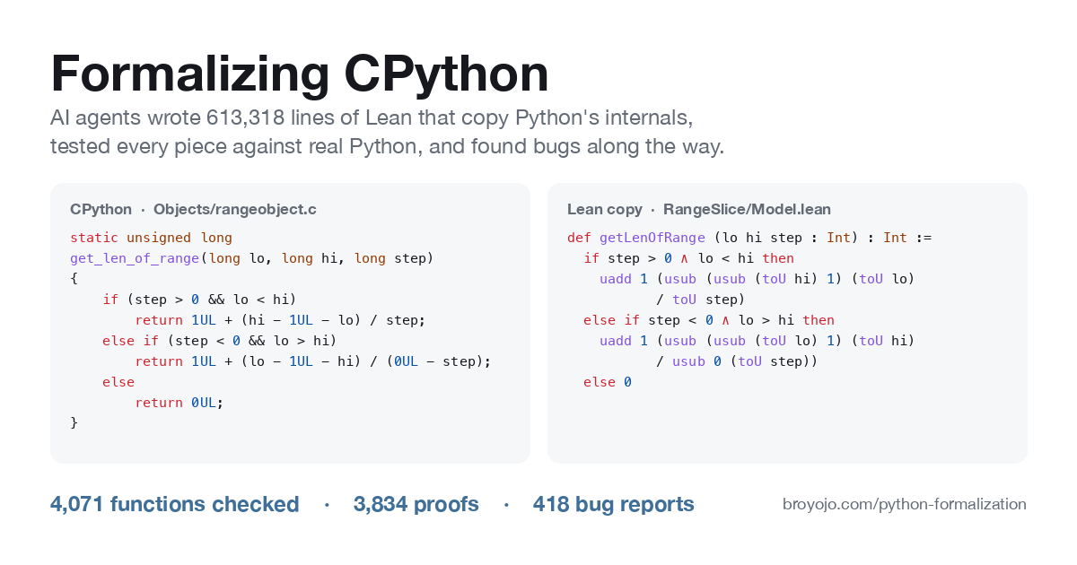 AI agents rewrote CPython code in Lean to find bugs
November 10, 2026