 mozgi
Developers introduced the geo-sleuth tool to determine location from photos
Developers presented geo-sleuth — a specialized agent skill designed for automatic determination of the coordinates of the shooting location from a single photograph. The tool uses a combination of geometric calculations, height data, and satellite imagery to restore the exact position of the camera.
The system analyzes visual features in the image and matches them with global landscape databases. As a result of the agent's work, it returns the latitude and longitude of the shooting point, as well as the direction of the camera's gaze (heading). Additionally, the tool generates a set of evidentiary images confirming the correctness of the match with the real terrain.
The project is implemented as an extensible module for AI agents, which allows integrating geopositioning functions into automated systems for analyzing visual content. The source code is available in an open repository, giving developers the opportunity to adapt the algorithms to specific search or data verification tasks.
The technology relies on integration with API of cartographic services and libraries for processing geospatial data. The use of geometric analysis makes it possible to minimize the error characteristic of methods based solely on neural network object recognition.
The development of such tools automates tasks that previously required manual labor of OSINT specialists. The integration of geo-data into agent workflows opens up new opportunities for verifying media content and analyzing visual data in real-time.
Related news
 OpenAI has opened outbound SIP calling to all organizations
November 6, 2026
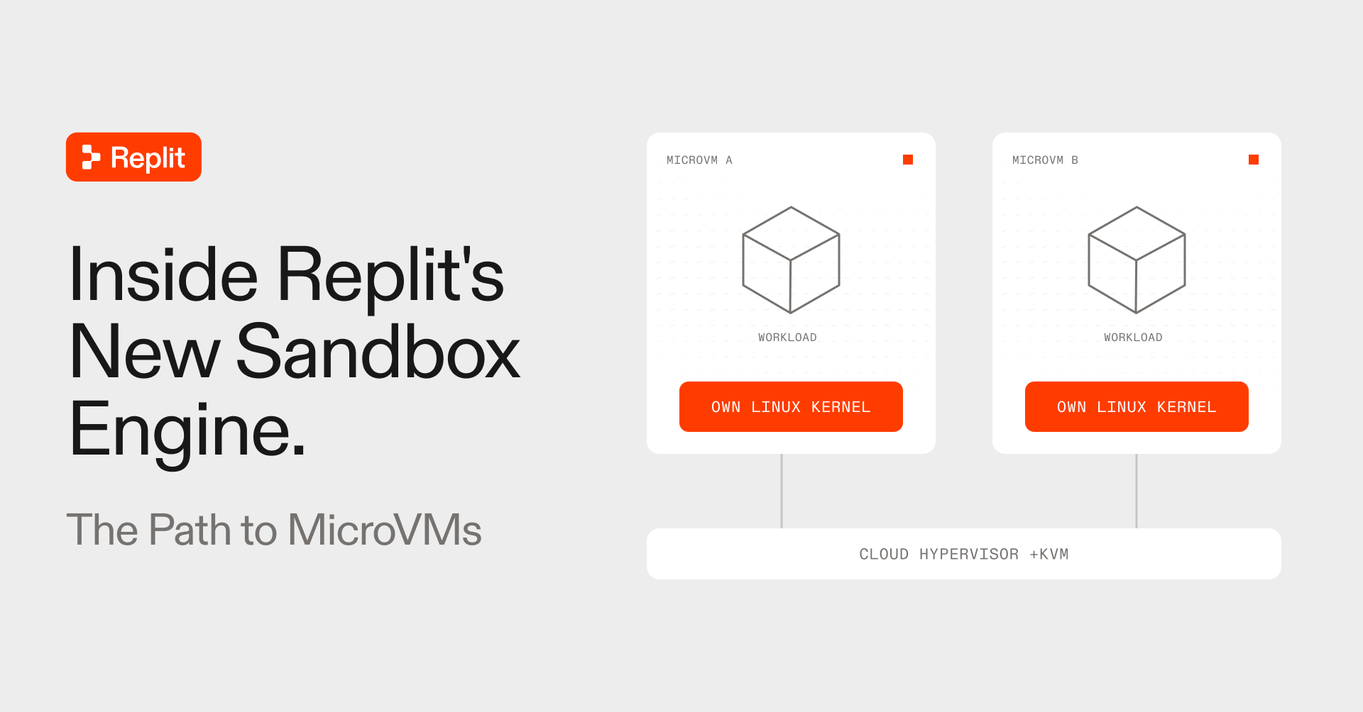 Replit has updated its sandbox engine based on microVMs
November 6, 2026
 Meta has added a spaces feature to customize the Muse AI assistant
November 6, 2026
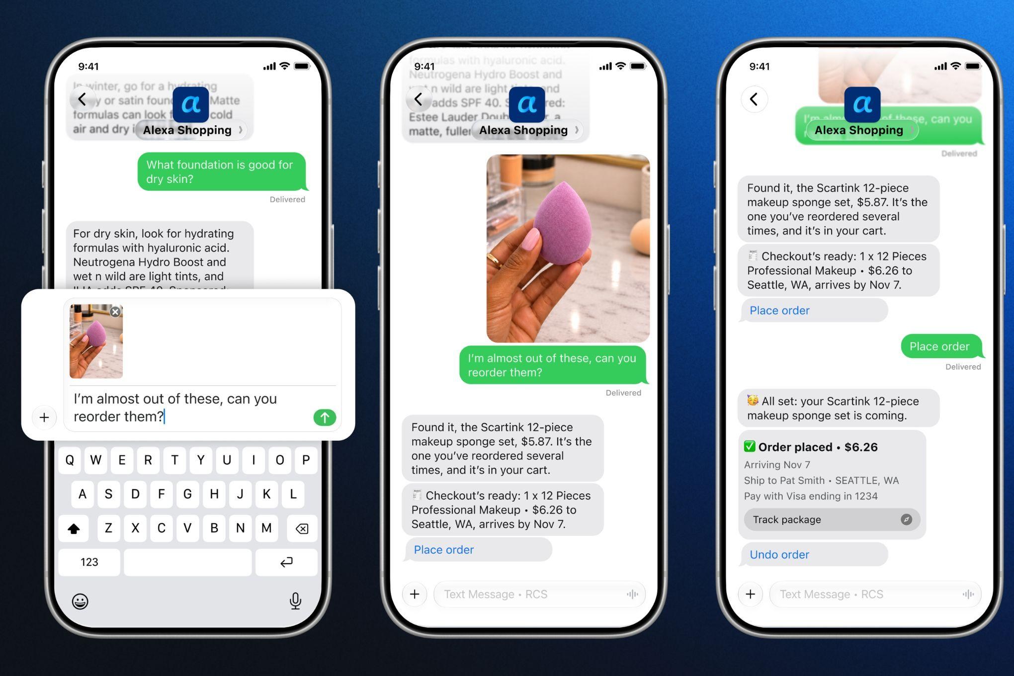 Amazon has added text search and ordering to Alexa for Shopping
November 6, 2026